La Guaira Between Two Catastrophes: Memory, Urban Errors, and the Opportunity to Rethink the Future City
Topic:
Urban Planning, Master Plan
Year:
23 July 2026
La Guaira Between Two Catastrophes: Memory, Urban Errors, and the Opportunity to Rethink the Future City
In just 27 years, the same territory — the narrow coastal corridor now known as La Guaira State and formerly called Vargas until 2019 — has been the scene of two of the worst natural disasters in contemporary Venezuelan history. In December 1999, the mountain collapsed onto the sea. On June 24, 2026, the earth itself fractured beneath the feet of its inhabitants. Two different phenomena — hydrometeorological in the first case, seismic in the second — yet united by the same fragile geography, the same history of inadequate territorial occupation, and the same incomplete lesson.
From Civic Thinkers, we read these events not merely as disasters, but as symptoms of an urban model that has preferred reaction over prevention, informal or improvised occupation over risk-based planning, and accelerated reconstruction over deep transformation. The question these events force us to ask is clear: will we learn this time, or will we once again build upon the same vulnerabilities?
The Facts: Two Faces of the Same Vulnerability
The 1999 Vargas Tragedy Between December 14 and 16, 1999, extreme rainfall — more than 900 mm in just over two days at some stations — saturated the slopes of the Ávila. Thousands of landslides were triggered and evolved into high-energy debris flows. These flows descended through the ravines and expanded across the alluvial fans, the only relatively flat surfaces of the narrow coastal strip. Entire neighborhoods — Los Corales, Carmen de Uria, Cerro Grande, and others — were buried under meters of mud, rocks, and debris. Victim estimates range from 10,000 to 30,000 people; a reliable census was never achieved. More than 8,000 homes and hundreds of buildings were destroyed or damaged. Road, utility, and port infrastructure collapsed. The coastline was permanently reconfigured.
The decisive urban factor was decades of intensive occupation of alluvial fans — geomorphic forms created precisely by past events of this type — without updated hazard maps, effective early-warning systems, or real control of densities and building typologies in high-risk zones.
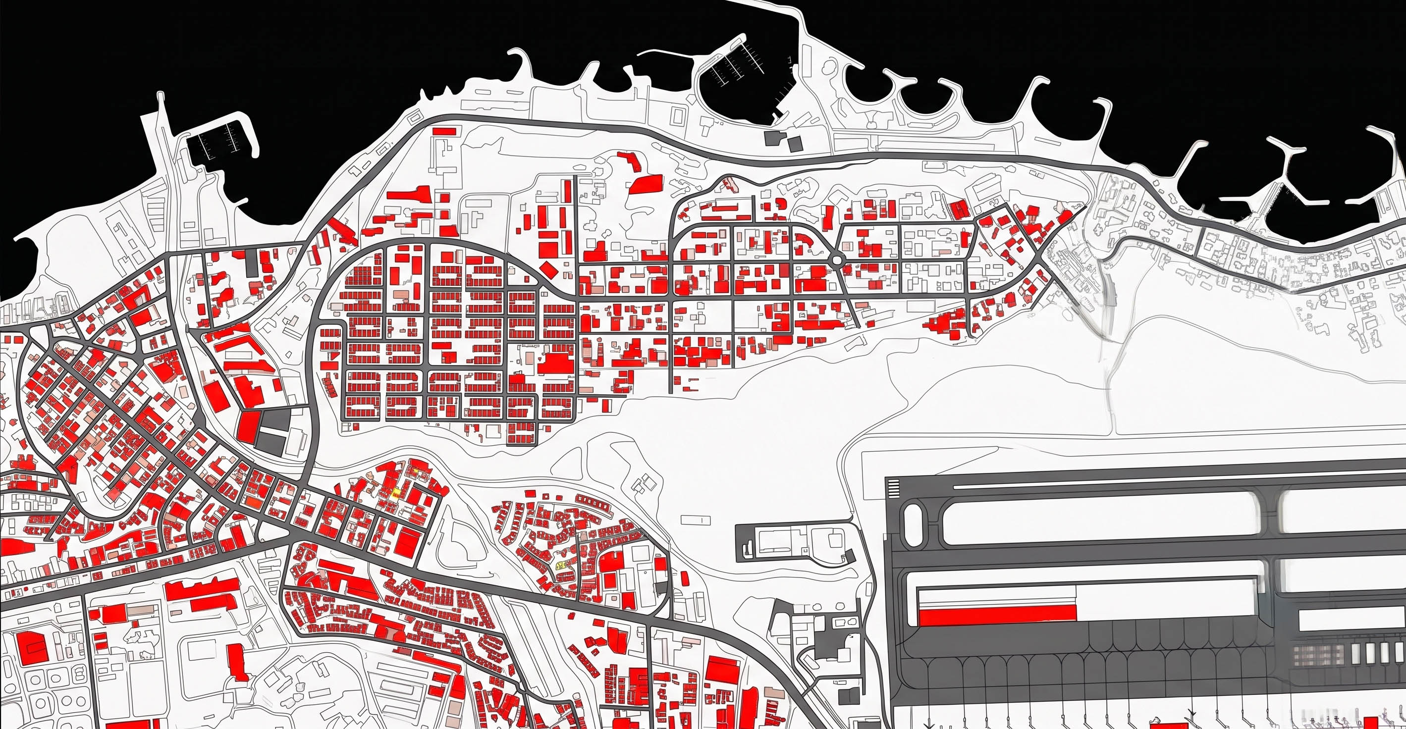
The June 2026 Earthquakes On June 24, 2026, just 39 seconds apart, two earthquakes of magnitudes Mw 7.2 and Mw 7.5 occurred, associated with the San Sebastián fault system on the Caribbean–South American plate boundary. Although the epicentres were located farther west, in Yaracuy, La Guaira State suffered one of the highest concentrations of damage. According to official reports and satellite analysis, in several areas up to 80% of buildings collapsed or were severely affected. Simón Bolívar International Airport sustained significant damage, communications and services were interrupted, and neighborhoods such as Caraballeda, Macuto, Catia La Mar, Naiguatá, and Playa Grande were devastated. The confirmed toll exceeds 5,300 deaths and 16,700 injuries, with tens of thousands still missing or unaccounted for, and more than 45,000 displaced.
Vulnerability was not solely seismic. Many of the structures that failed — especially social housing complexes built or rebuilt after 1999 — showed design and construction deficiencies: soft-story ground floors, deficient materials, structural irregularities, and lax application of the seismic codes in force since the revisions following the 1967 Caracas earthquake. The incomplete reconstruction of 1999 had left a fragile urban fabric upon which new layers of risk were superimposed.
The Recurring Urban Errors
Both disasters reveal patterns that are not natural, but produced:
Occupation of high-risk geomorphic units Alluvial fans and unstable Ávila slopes were treated as available land rather than as dynamic systems. The logic of “the only flat land available” prevailed over hazard assessment.
Absence of a multi-hazard approach After 1999, priority was given to hydraulic works and sediment-retention structures. Seismic risk — always present in this plate-boundary region — remained secondary. Planning failed to realistically integrate the interactions between extreme rainfall, landslides, and seismicity.
Construction quality and weak governance In both informal growth and mass housing programs, technical quality and regulatory compliance were sacrificed to political or social urgency. Codes exist; their effective enforcement and continuous updating have not always followed.
Reconstruction as a return to the previous state Ambitious plans were announced after 1999. The reality was a spontaneous return of population to risk zones, slow recovery of infrastructure, and loss of institutional memory. Reconstruction was too often entrusted to inertia rather than to a genuine city project.
Disconnect between technical knowledge and political decision-making Universities, engineers, and planners produced diagnoses and proposals. Many remained on paper. The distance between technical knowledge and institutional action continues to be one of the greatest hidden costs.
What Can We Learn?
These two events teach us that disaster is not only the natural event, but the convergence of hazard, exposure, and vulnerability. Exposure and vulnerability are, to a large extent, urban decisions.
We learn, first, that memory must become a planning instrument. The mud scars of 1999 and the rubble of 2026 are not merely wounds; they are data. They must feed dynamic risk maps, updated building codes, and real land-use restrictions.
We learn, second, that resilience is not merely “resist and return.” It is the capacity to anticipate, absorb, adapt, and transform. A resilient city is not the one that returns exactly to what it was; it is the one that emerges more just, safer, and more aware of its ecological and tectonic limits.
We learn, third, that social housing and critical infrastructure cannot continue to be the weakest link. Seismic and hydrological safety is a basic urban right, not a technical luxury.
And we learn, finally, that citizen participation is not an ornament. Communities that inhabit risk know vulnerabilities that official maps sometimes fail to capture. Incorporating their knowledge is a condition of any credible plan.
Reconstruction as Opportunity: The Civic Thinkers Perspective
From Civic Thinkers, we understand the reconstruction of La Guaira not as a program of replacing what was lost, but as a historic opportunity to rethink the city of the future in the Global South. Our philosophy is organized around several axes:
Regenerative and adaptive urbanism: It is not enough to build back better. The task is to design urban systems that regenerate ecological, social, and economic capacities. In a territory as narrow as this mountain-sea strip, this implies controlled densities, real evacuation corridors, green-blue infrastructures that manage water and sediment, and housing typologies conceived for the movement of both ground and water.
Multi-hazard approach and territorial intelligence: Use contemporary tools — digital twins, scenario modelling, sensors, and open data — to monitor risks in real time and simulate planning decisions before they are executed. Technology does not replace politics, but it can make it more informed and transparent.
Civic planning and real participation: Reconstruction must be a process of collective intelligence. Participatory diagnosis workshops, risk assemblies, and co-design mechanisms allow local memory and technical knowledge to meet. Civic Thinkers advocates an urbanism that is not imposed from above, but built with the affected communities.
Spatial justice and technical quality: Social housing cannot continue to be synonymous with vulnerability. Demanding and guaranteeing high seismic and hydrological standards, safe typologies, and long-term maintenance is a matter of equity.
Long-term and regional vision: La Guaira is not an isolated enclave. It is the maritime and aerial gateway to Caracas and a link in the metropolitan system. Any reconstruction plan must be conceived at the regional scale, integrating mobility, logistics, tourism, biodiversity, and risk.
The temptation will be strong: rebuild quickly, reoccupy the same land, repeat familiar typologies. That temptation is understandable in the face of pain and urgency. But it is also the surest path toward the next tragedy.
The alternative is more demanding: turn grief into project. Turn the ruins into a laboratory for a city that assumes its geography, respects the memory of 1999 and 2026, and dares to imagine a coastline where life no longer depends on the luck of the next extreme rainfall or the next movement of the San Sebastián fault.
La Guaira has paid twice too high a price for the same errors. The third time should not be a fatality, but a conscious decision to do things differently. From Civic Thinkers, we believe that decision is possible — and that the moment to make it is now.


Sources:
Other articles
S.1